
Vector Opus surveying company.
Precision passed throughthree generations.
Three generations of experience, modern measurement and clear communication.

Three generations of experience
Surveying has been our family’s work for a long time. We know the area and the history of its cadastral records.
Slovak and Hungarian
We work in your language — including the specialist terms used in cadastral procedures.
Modern survey equipment
Accurate measurement and digital outputs your designer and the authorities can use as delivered.
A personal approach
One person handles your job from the first call to handover. You always know who you are talking to.
01 Services
What we can do for you
Common surveying work for land, buildings and cadastral records.
Geometric plansThe official document the cadastre needs before it will register a new building, a plot division or a change of boundaries.
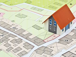
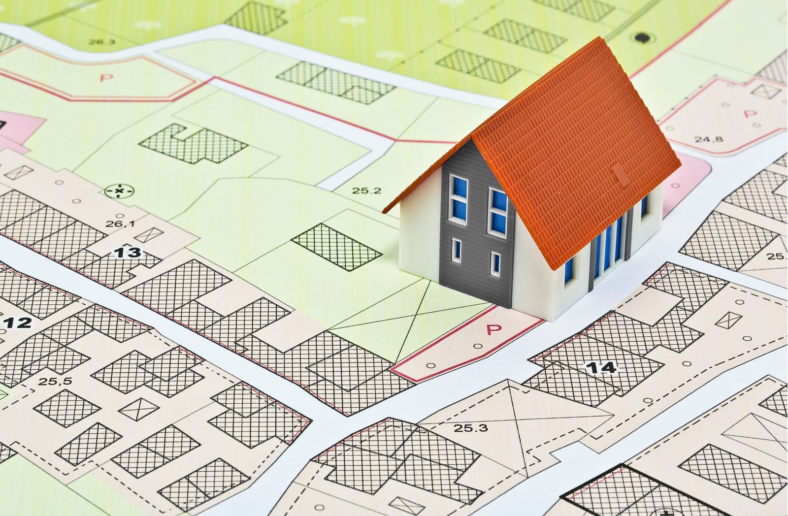
A geometric plan (geometrický plán) is the technical document on which the Slovak real-estate cadastre registers a change — a new building, the division or merger of a plot, an easement, or a correction to recorded data. Without one, the authority will not register the change. We prepare it from field measurement and cadastral records, in the form the authority accepts.
When you need this service
- You have completed a building and need it registered in the cadastre.
- You want to divide a plot into several parcels — when selling part of it, or settling an inheritance.
- You want to merge several parcels into one.
- You are preparing for occupancy approval and the building authority requires a geometric plan.
- You have an unfinished building that needs to be registered or documented for the cadastre.
What we need from you
- The cadastral area and parcel number.
- The purpose of the plan — exactly what needs to be registered.
- For a building: design documentation or the building permit, if one exists.
How the process works
- 01
Checking the records
We establish the current cadastral status of the parcel and confirm the requested change is feasible from a surveying point of view.
- 02
Field measurement
We survey the actual situation — boundaries, the building, or the proposed division. The owner’s presence is helpful but not always necessary.
- 03
Preparing the plan
The measurements are worked up into a geometric plan in the prescribed form, including the schedule of areas and descriptive data.
- 04
Official verification
We submit the plan for verification to the cadastral department of the relevant district office.
What you receive
- An officially verified geometric plan in printed form.
- A digital copy in PDF.
- A schedule of areas for the new and original parcels.
This information is for guidance. Specific requirements may vary with your property, the available cadastral records and the purpose of the survey. We do not provide legal advice — for legal questions we will refer you to a lawyer or notary.
Land stakingTransferring the boundary recorded in the cadastre onto the ground and marking it with stakes or boundary markers.

Boundary staking means taking the boundary recorded in the real-estate cadastre and marking it visibly on the ground. It is the usual answer when it is not clear exactly where a property line runs — before a fence goes up, before buying land, or when neighbours disagree.
When you need this service
- You are about to build a fence and need to know exactly where the boundary runs.
- The boundary is not visible or marked on the ground.
- You are buying land and want to verify its actual extent.
- You and a neighbour disagree about a shared boundary.
What we need from you
- The cadastral area and parcel number.
- Which boundaries to stake — the whole perimeter or a single side.
- Owner contact details and access to the land.
How the process works
- 01
Cadastral records
We obtain and check the available cadastral documentation for the parcel.
- 02
Calculating the setting-out data
We compute the coordinates of the boundary’s turning points.
- 03
Staking on site
We transfer the points to the ground with survey instruments and mark them with stakes or boundary markers.
- 04
Setting-out sketch
We produce a record and a sketch documenting how the boundary was staked.
What you receive
- The boundary marked on the ground with stakes or boundary markers.
- A setting-out sketch and record.
- A digital copy of the documentation.

This information is for guidance. Specific requirements may vary with your property, the available cadastral records and the purpose of the survey. We do not provide legal advice — for legal questions we will refer you to a lawyer or notary.
Construction stakingTransferring the position and level of a building from the drawings onto the ground, so it is built exactly where it should be.
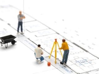
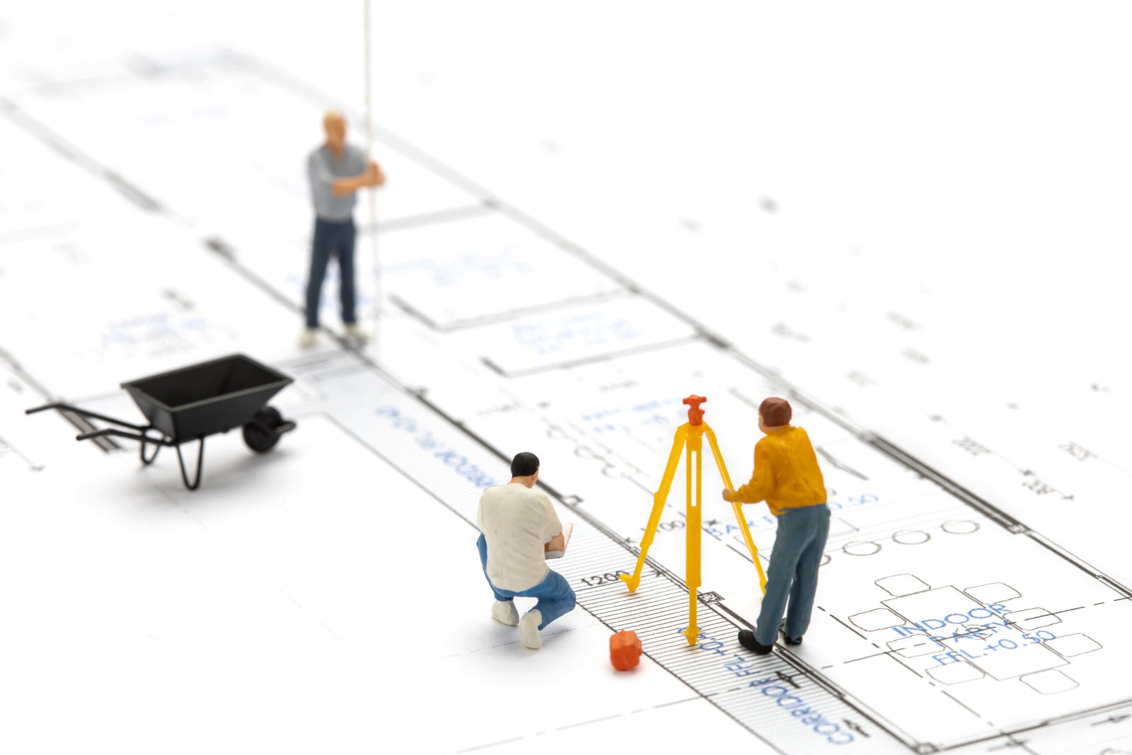
Construction staking takes the design documentation and puts it on the real site. We mark exactly where the corners of the structure go, at what level the foundation should sit, and how the building is positioned relative to the property boundaries. Mistakes at this stage are difficult and expensive to correct later.
When you need this service
- You are starting a house build and need its position set out.
- You are laying utilities and need the route set out.
- You need construction points, axes or level references staked.
- The building authority or site supervisor requires a setting-out record.
What we need from you
- Design documentation showing the building’s position on the plot.
- The cadastral area and parcel number.
- The building permit or other decision, if already issued.
How the process works
- 01
Reviewing the drawings
We take the design documentation and confirm it contains the data needed for setting out.
- 02
Calculating setting-out data
We compute the coordinates and levels of the points to be staked on site.
- 03
Staking on site
We transfer the points to the ground and stabilise them so they survive the start of construction.
- 04
Setting-out record
We produce a setting-out record and sketch for the site diary and the building authority.
What you receive
- The building staked and stabilised on the ground.
- A marked level reference.
- A setting-out record and sketch.
This information is for guidance. Specific requirements may vary with your property, the available cadastral records and the purpose of the survey. We do not provide legal advice — for legal questions we will refer you to a lawyer or notary.
Topographic surveyA detailed survey of the site that an architect or engineer needs as the basis for their design.
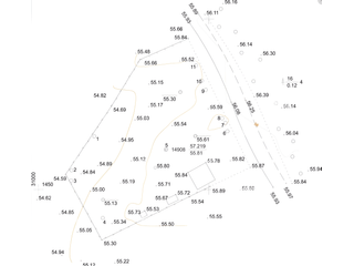
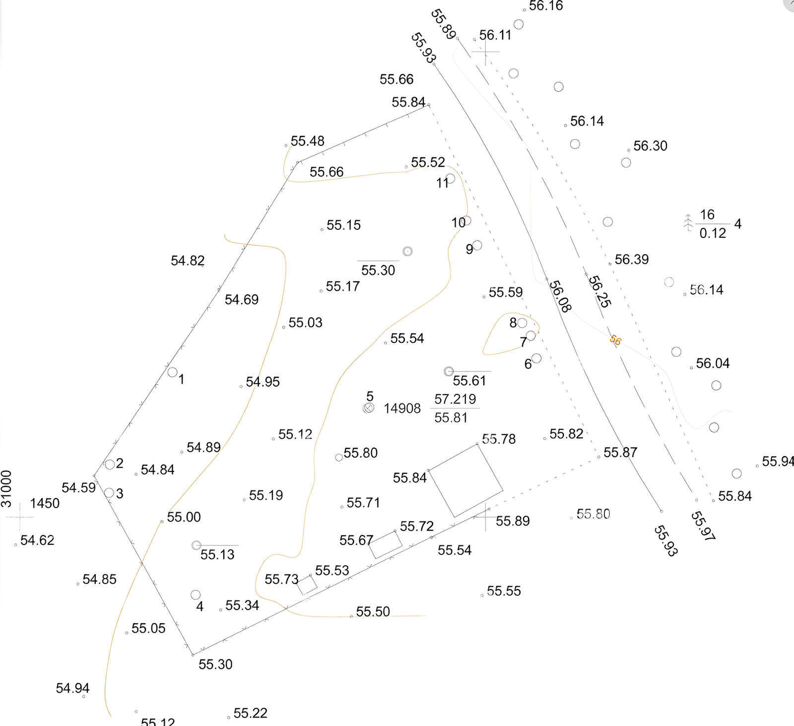
A topographic and level survey is the designer’s foundation document. It captures the real shape of the ground, its levels, existing buildings, hard surfaces, trees, visible utilities and property boundaries. Without it, a designer is working from an approximation.
When you need this service
- Your architect has asked for a survey base for a house design.
- You are preparing a design for regrading or hard landscaping.
- You are planning to lay or renew utilities.
- You are resolving drainage and need to know the site gradients.
What we need from you
- The cadastral area and parcel number.
- The extent of the area to survey — including surroundings, if the designer needs them.
- The designer’s requirements for output format and content.
How the process works
- 01
Agreeing the scope
We agree what area is surveyed and what the drawing must contain — with the designer directly, where that helps.
- 02
Field survey
We survey the ground, existing structures, surfaces, vegetation and visible utilities, and tie the survey to the national coordinate and height systems.
- 03
Processing
We work the surveyed points into a topographic and level drawing, with contours or spot heights as agreed.
- 04
Handover to the designer
We deliver in a format the designer can open directly in their own software.
What you receive
- A topographic and level drawing in digital form (DWG, DGN or another agreed format).
- A PDF output.
- A schedule of coordinates and heights for the surveyed points.
This information is for guidance. Specific requirements may vary with your property, the available cadastral records and the purpose of the survey. We do not provide legal advice — for legal questions we will refer you to a lawyer or notary.
As-built surveyA record of how a structure was actually built — for occupancy approval and for comparison against the design.
An as-built survey records how a structure actually stands — its position, dimensions and levels once complete. It is used for occupancy approval, for registering a building in the cadastre, for checking that construction followed the design, and for documenting existing buildings whose drawings have been lost.
When you need this service
- You are preparing for occupancy approval and need evidence of what was built.
- You need to register a completed building in the cadastre.
- No documentation survives for an existing building.
- You need laid utilities recorded before the trench is backfilled.
What we need from you
- The cadastral area and parcel number.
- The purpose — occupancy approval, cadastral registration or verification.
- Design documentation, if it exists, for comparison.
How the process works
- 01
Confirming the purpose
Scope and output format depend on what the survey is for, so we establish that first.
- 02
Surveying the structure
We survey the actual position, dimensions and levels, including how the building meets the surrounding ground.
- 03
Comparison against the design
Where design documentation is available, we compare it with what we found and document the differences.
- 04
Preparing the output
We produce as-built documentation, and a geometric plan as well if the building is to be registered.
What you receive
- As-built documentation for the structure.
- Digital output in PDF and in an agreed drawing format.
- A basis for a geometric plan, if cadastral registration is needed.
This information is for guidance. Specific requirements may vary with your property, the available cadastral records and the purpose of the survey. We do not provide legal advice — for legal questions we will refer you to a lawyer or notary.
Address pointA survey of a building’s entrance, which the municipality needs before it will assign a house number.

An address point (adresný bod) is the spatial record of a building’s main entrance. The municipality needs it in order to assign a house number and enter the building in the address register. The survey is quick, but without it a municipality will generally not issue an address.
When you need this service
- You have completed a building and are applying for a house number.
- The municipality has asked you for an address-point survey.
- The building has no address in the register.
- The main entrance to the building has changed.
What we need from you
- The cadastral area and parcel number.
- Which entrance is the main entrance.
- The municipality requesting the address point.
How the process works
- 01
Confirming the brief
We confirm which entrance is to be surveyed and what data the municipality will require.
- 02
Surveying the entrance
On site we survey the position of the main entrance in the national coordinate system.
- 03
Preparing documentation
We work the survey up into the form the municipality accepts with an application.
- 04
Handover
We hand it over and explain where and how to submit it.
What you receive
- The address-point survey in the prescribed form.
- A digital copy in PDF.
- Documentation to support a house-number application.

This information is for guidance. Specific requirements may vary with your property, the available cadastral records and the purpose of the survey. We do not provide legal advice — for legal questions we will refer you to a lawyer or notary.
Other surveying work and expert adviceLess common jobs, and help deciding which service you actually need.

Not every job fits a prepared category, and not everyone knows in advance what they need from a surveyor. If you are unsure, describe your situation — we will tell you whether it is surveying work, which service it corresponds to, and what you need to prepare.
When you need this service
- You do not know which service your situation calls for.
- An authority or designer has asked for a document you do not understand.
- You need volumes, earthworks or cut-and-fill quantities surveyed.
- You need contracts or supporting documents for the cadastre, real-estate matters, a property or a building.
What we need from you
- A short description of your situation in your own words.
- The cadastral area and parcel number, if you know them.
- Who is asking for the document, and why.
How the process works
- 01
You describe the situation
Give us a call. No technical vocabulary needed — just tell us what you are dealing with.
- 02
We assess it
We establish what is needed and whether it is surveying work at all. If it is not, we will tell you who to speak to.
- 03
We propose an approach
We explain which service fits your situation, what needs preparing, and what to expect.
- 04
We confirm scope and timeline
Once we agree the scope, we tell you the price under the current price list and the expected timeline.
What you receive
- A clear explanation of which service you need and why.
- A list of documents to prepare.
- The price under the current price list and the expected timeline.

This information is for guidance. Specific requirements may vary with your property, the available cadastral records and the purpose of the survey. We do not provide legal advice — for legal questions we will refer you to a lawyer or notary.
02 About us
How we got here
The foundation is simple: surveying work and three generations of experience.
Family continuity helps with older records and local knowledge.
The result matters most: an accurately surveyed plot or building, documentation ready to use, and a client who knows what to do next.
Continuity
Three generations
Different equipment, the same responsibility for the result.
- 01First generation
Foundations of the family practice
- 02Second generation
Digital processing
- 03Current generation
Modern measurement and personal contact
How we work
What we care about
Clear process, accurate measurement and honest recommendations.
We explain what we are doing
Technical terms are unavoidable in documentation, not in conversation. We explain what is needed and why, even if you are not from the field.
We say when you do not need something
If your situation does not call for the service you asked about, we will tell you. Unnecessary work serves nobody.
We flag the limitations
With older cadastral records, the uncertainty in the documentation can exceed the uncertainty in the measurement. We always say so in advance.
We stay reachable after handover
If a question comes up at the authority about our documentation, call us. We do not send you elsewhere.
Team
Who you will be speaking to
The same person handles your job from start to finish. You are not passed between departments.
Team names, roles and photographs will be added once confirmed and consent to publish is obtained.
Qualifications
Professional standing
We publish details of professional standing only once confirmed. In this field, an inaccurate claim about authorisation is more serious than a missing one.
Prices for surveying and cartographic work follow the current price list of the Chamber of Surveyors and Cartographers of the Slovak Republic. Open the KGK SR price list
Where we work
We deliberately do not list dozens of municipalities. We name only the area we genuinely serve and where we know the local cadastral records.
Start here
What do you need help with?
Pick the situation closest to yours.

03 Working together
How it works
A simple path from first contact to handover.
- 01
You send the basics
Cadastral area, parcel number and a short description.
- 02
We check the records and scope
We check the cadastre and confirm what is needed.
- 03
We confirm scope and timeline
You get the scope of work and the expected timeline. Pricing follows the current price list of the Chamber of Surveyors and Cartographers of the Slovak Republic.
- 04
We agree a date and survey
We agree a date and complete the survey.
- 05
We hand over the documentation
You receive the documents and a short explanation.

Pricing
How the price is set
We do not set prices for surveying and cartographic work ourselves — we follow the current price list of the Chamber of Surveyors and Cartographers of the Slovak Republic. We confirm the specific price for the agreed scope before any work starts.
Equipment
What we measure with
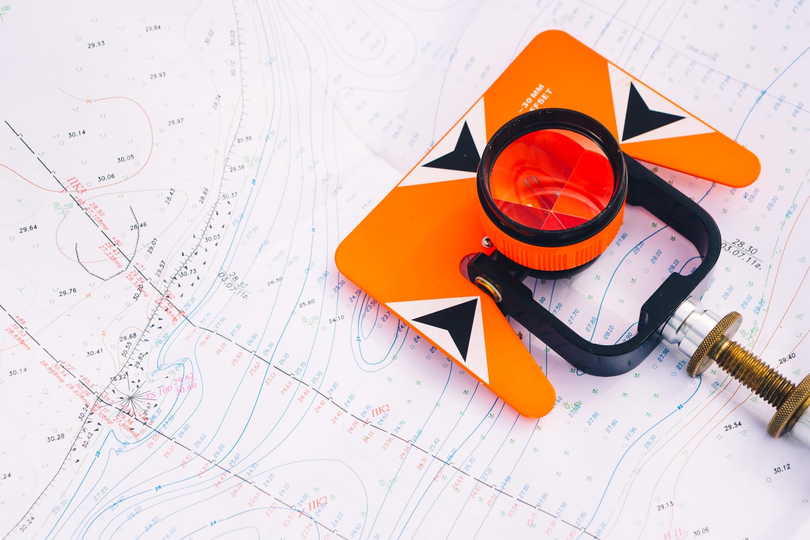
We carry out the everyday surveying work with our own equipment — from boundary and construction staking to topographic and level surveys. For specialised jobs we bring in specialists with the instruments that work needs. You deal with us throughout.

05 Contact
Tell us what you are dealing with
Call us and briefly describe your situation.

Call us
+421 915 774 964What to have ready before you call
- Cadastral area and parcel number — on your title deed or in the cadastral portal.
- The purpose — what you need the document for and who is asking you for it.
- The municipality where the property is located.
- The date by which you need the documentation.
- If you already have design documentation or an older geometric plan, mention it.